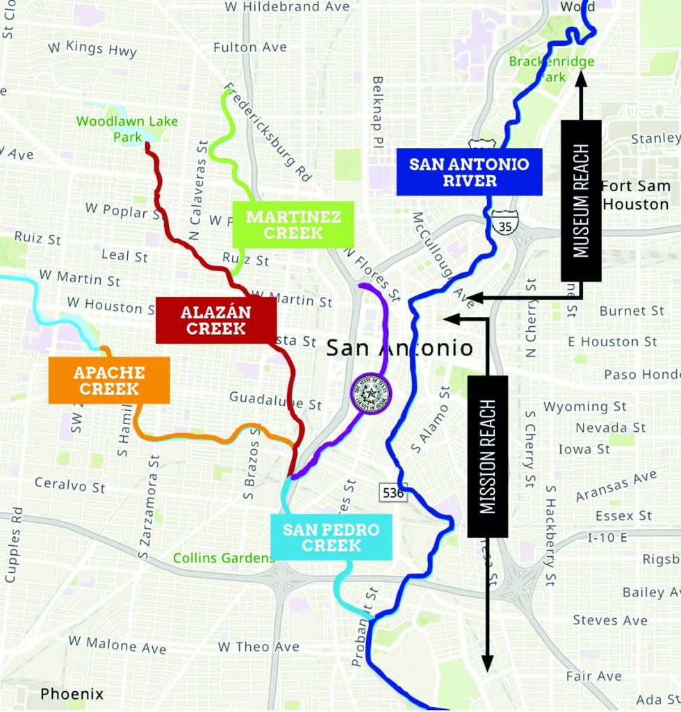
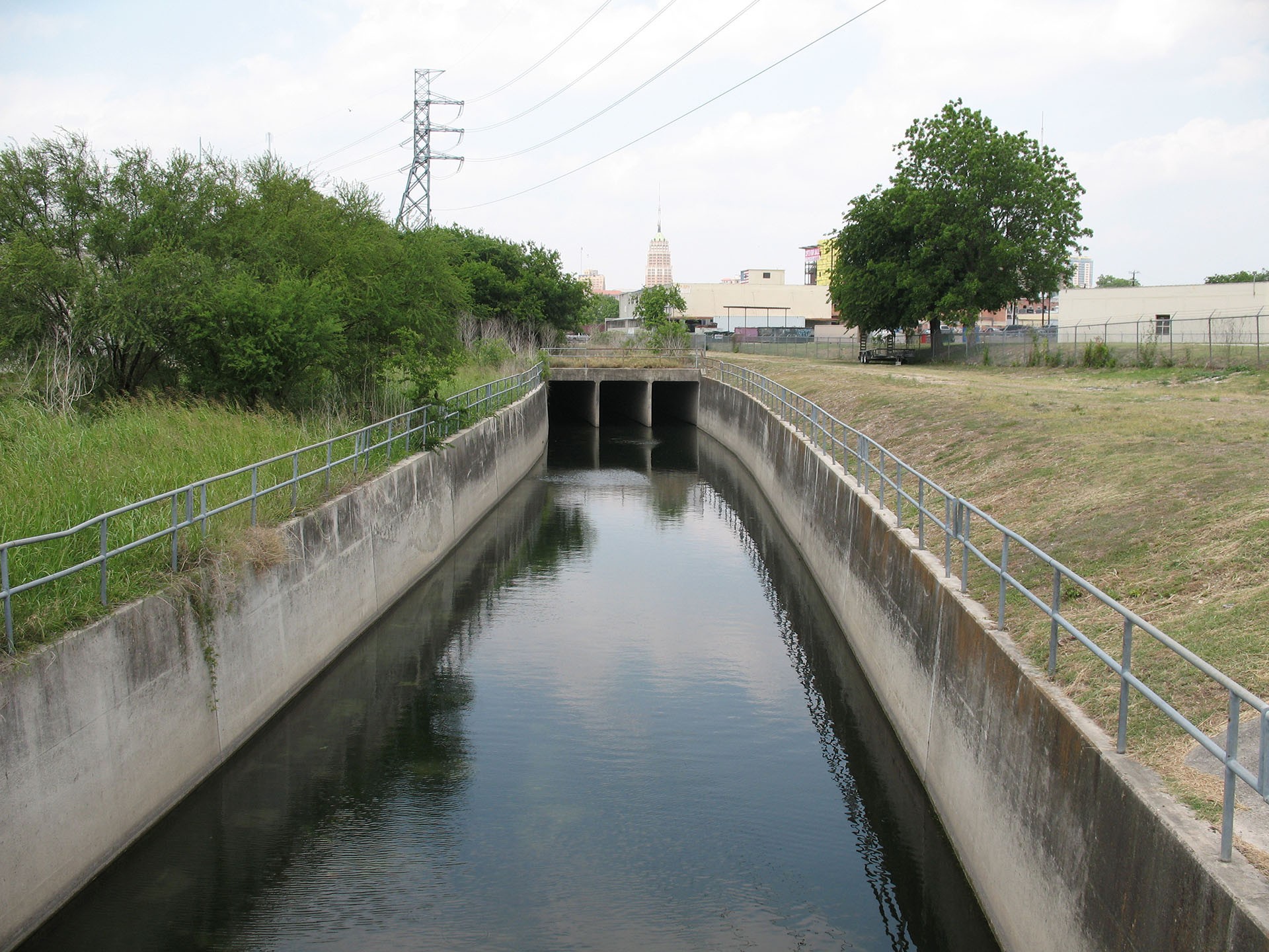
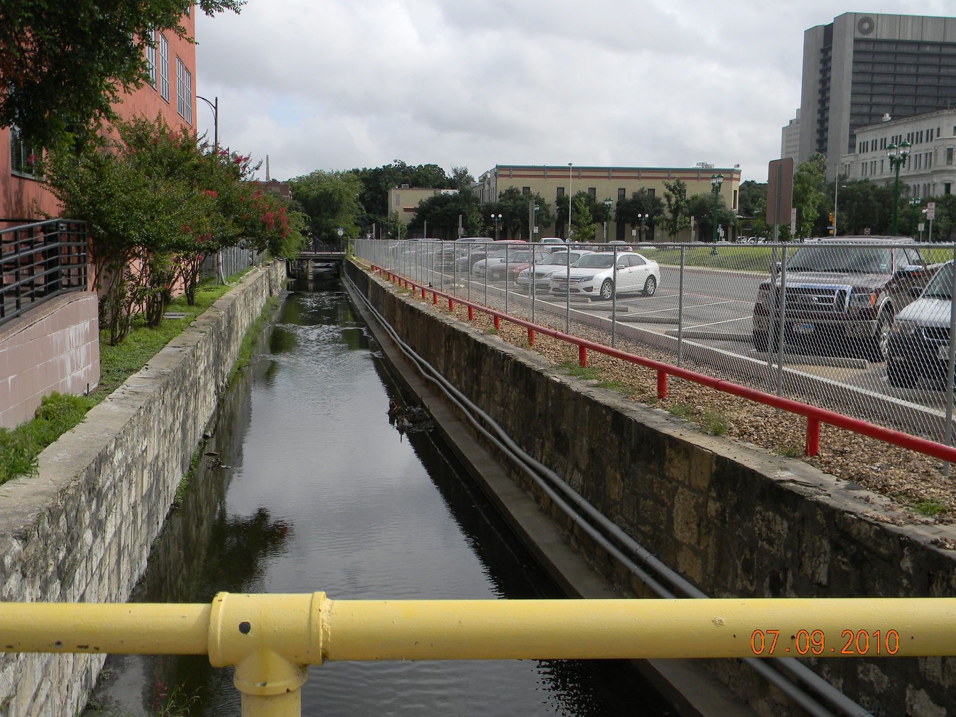
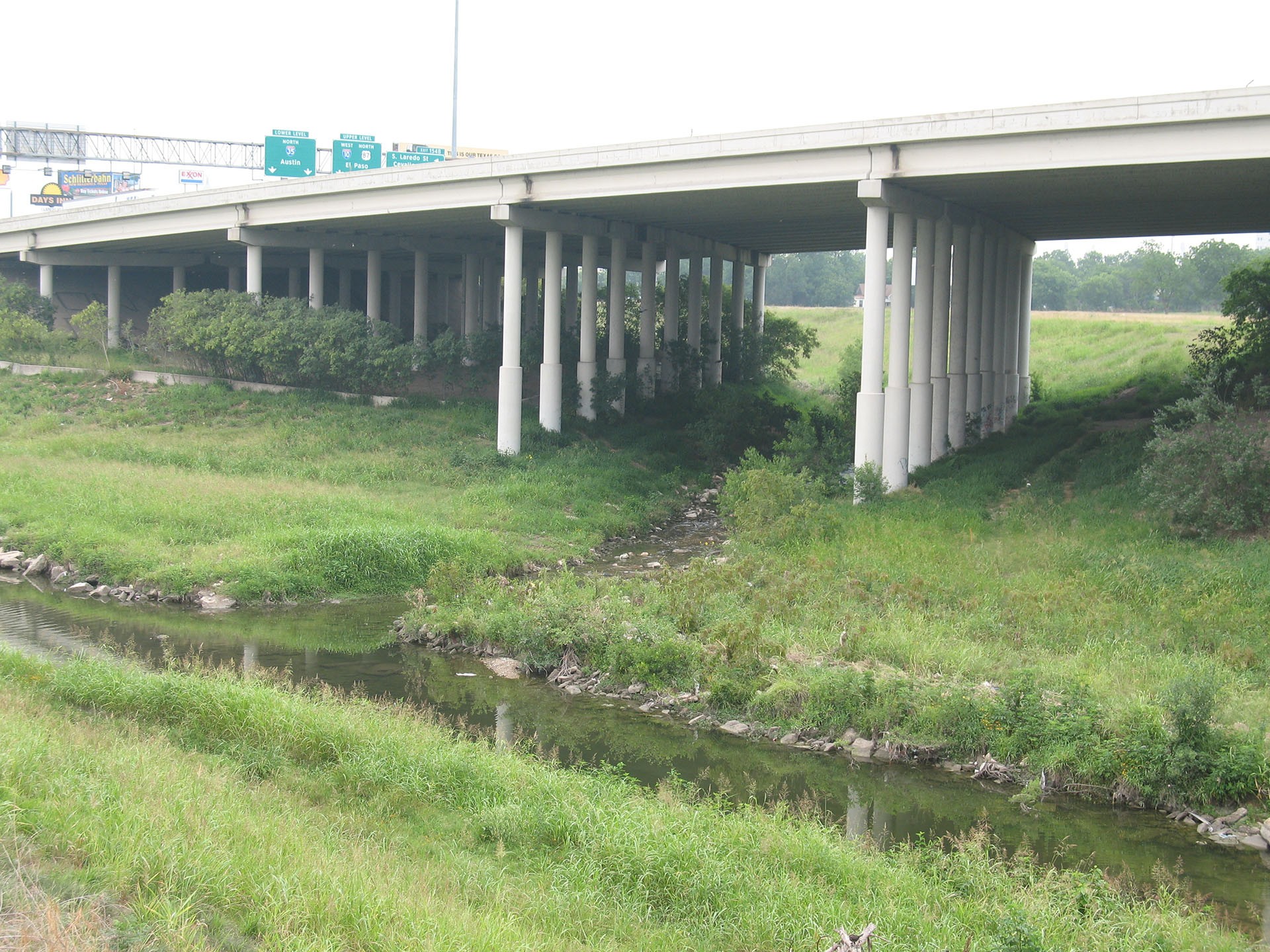
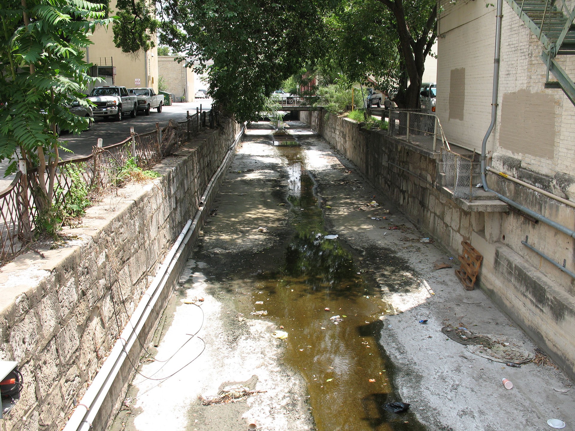
The project boundary for San Pedro Creek extends 3.82 miles beginning at San Pedro Creek crossing at I-35 it then meanders south of downtown to through primarily residential neighborhoods before flowing into the San Antonio River connecting to the Mission Reach.
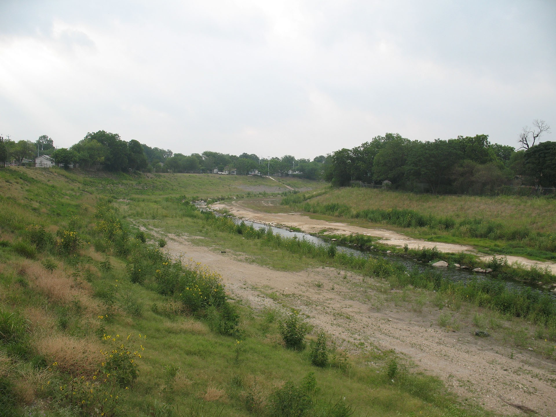
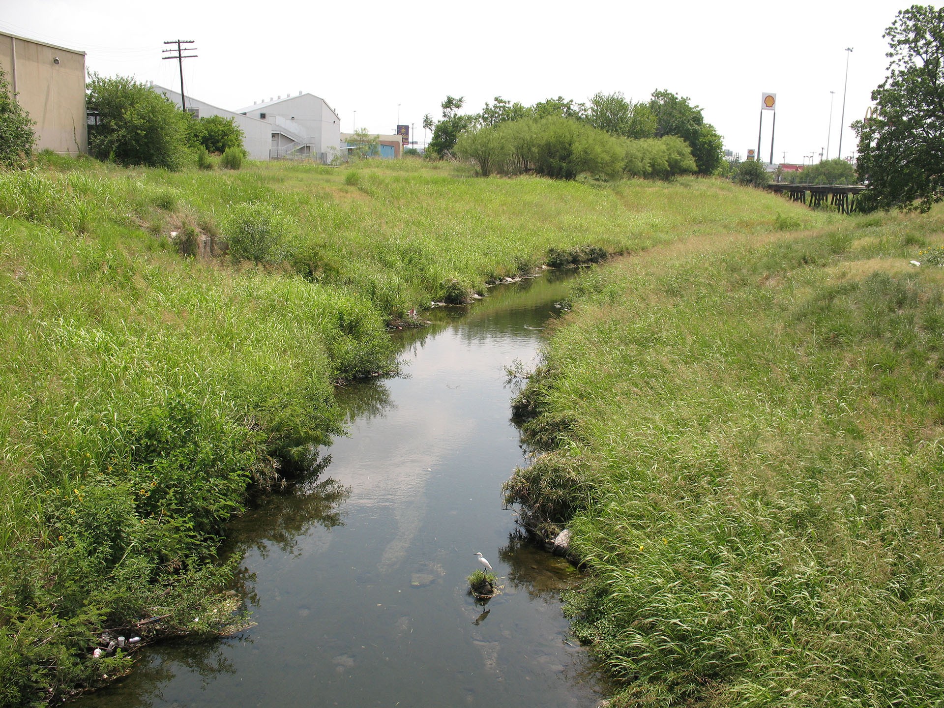
San Pedro Creek receives runoff from a watershedthat spans approximately 45.6 square miles stretching from just north of the intersection of Fredericksburg and Wurzbach Roads to the confluence with the San Antonio River just south of Probandt Street.
On the map to the left the purple outline section of San Pedro Creek is the Bexar County funded San Pedro Creek Culture Project. To the south of this project, outlined in light blue is the section of San Pedro Creek that is a part of the Westside Creeks Ecosystem Restoration Project.