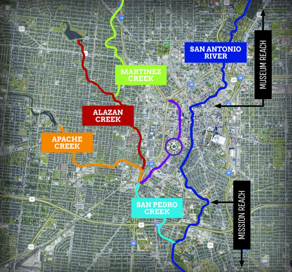
The Westside Creeks are located entirely within the City of San Antonio’s urban core in Bexar County, Texas, extending west and northwest of downtown with a segment extending south of downtown to the San Antonio River. The project limits are based upon the 1954 federal San Antonio Channel Improvement Project (SACIP) that addressed flooding on San Pedro Creek from the confluence at the San Antonio River to West Quincy; Apache Creek from the confluence with San Pedro Creek to General McMullen; Alazán Creek from the confluence with Apache Creek to Josephine Tobin Drive; and Martinez Creek from the confluence with Alazán Creek to Hildebrand Avenue.
Click the logos below to learn more about each project
The project includes: 3.63 miles of Alazán Creek 3.83 miles of Apache Creek 2.81 miles of Martinez Creek 3.82 miles of San Pedro Creek
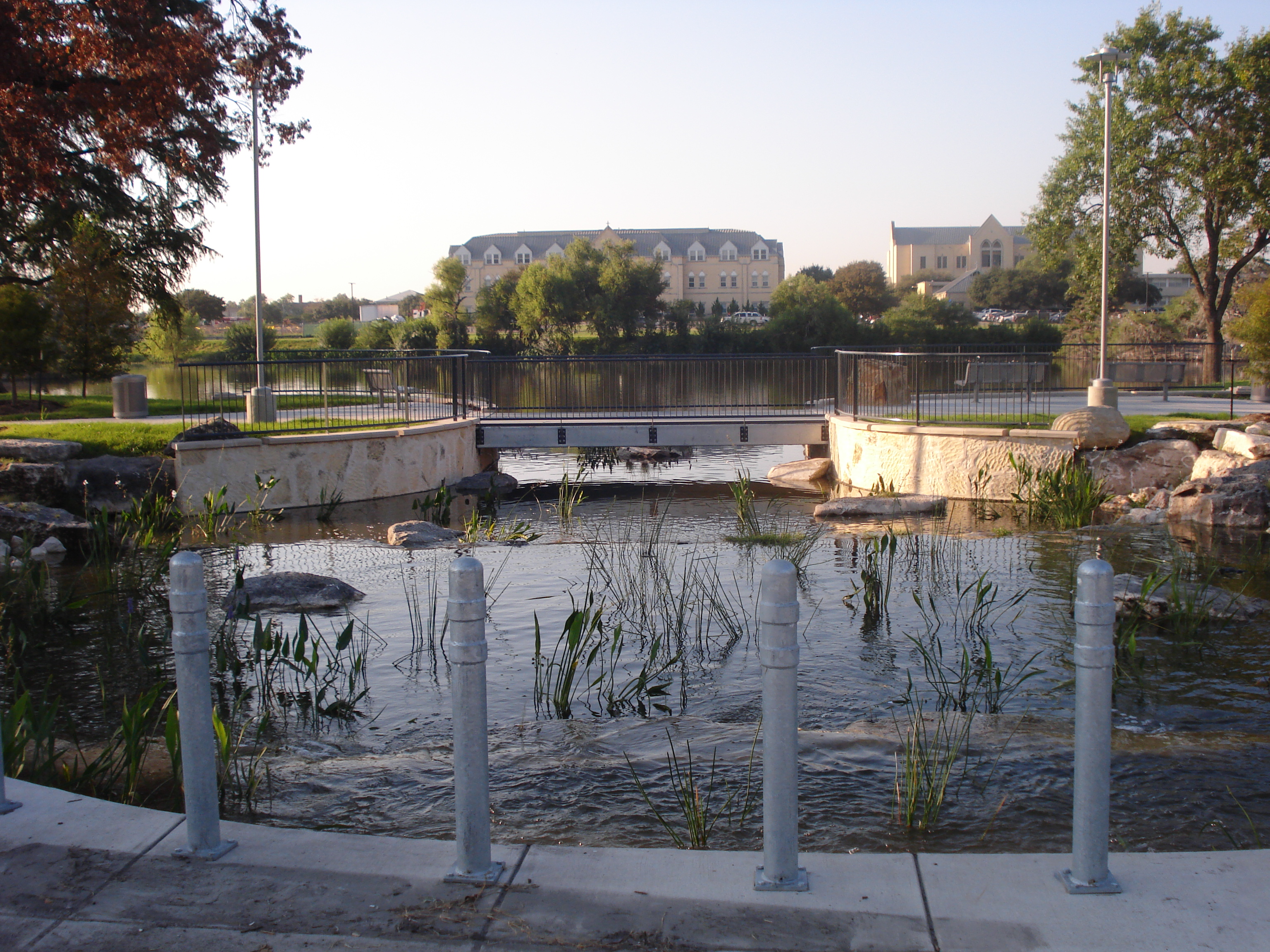
The Westside Creeks Restoration Project Conceptual Plan established a vision for returning the creeks to a more natural state, with the added goals of achieving a long-term sustainable condition that minimizes maintenance requirements, maintaining or enhancing the existing flood control benefits, and improving water quality. In addition to these improvements, catalyst sites were identified and considered stream restoration and flood mitigation, enhancements of creek trails, parks and open spaces, and providing connections to neighborhoods, businesses and various means of transportation.
Based upon the Westside Creeks vision, Bexar County, City of San Antonio, and the San Antonio River Authority have invested in projects aimed at advancing the community-based vision for the Westside Creeks.
Linear Trails along Apache, San Pedro, Alazán, and Martinez Creeks