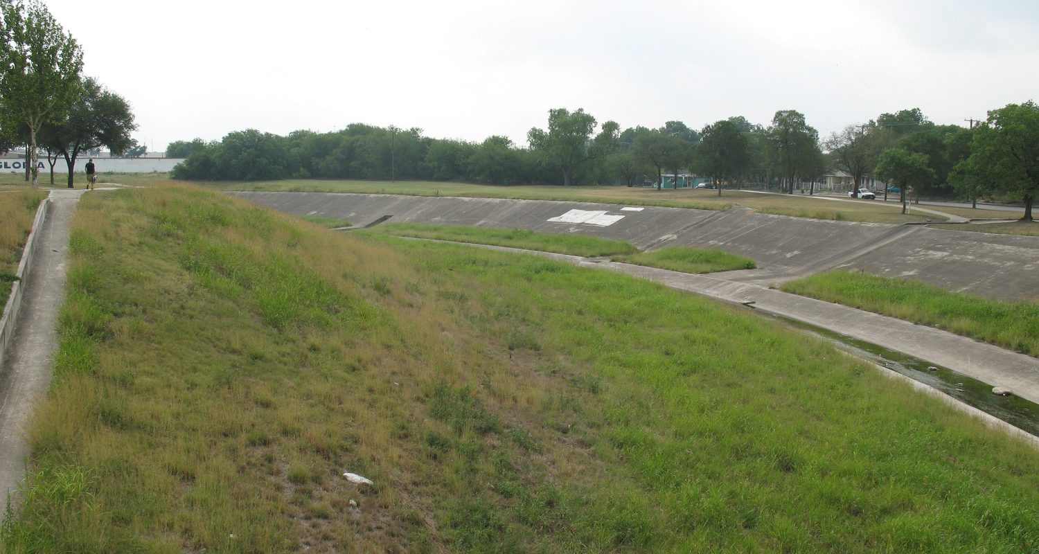
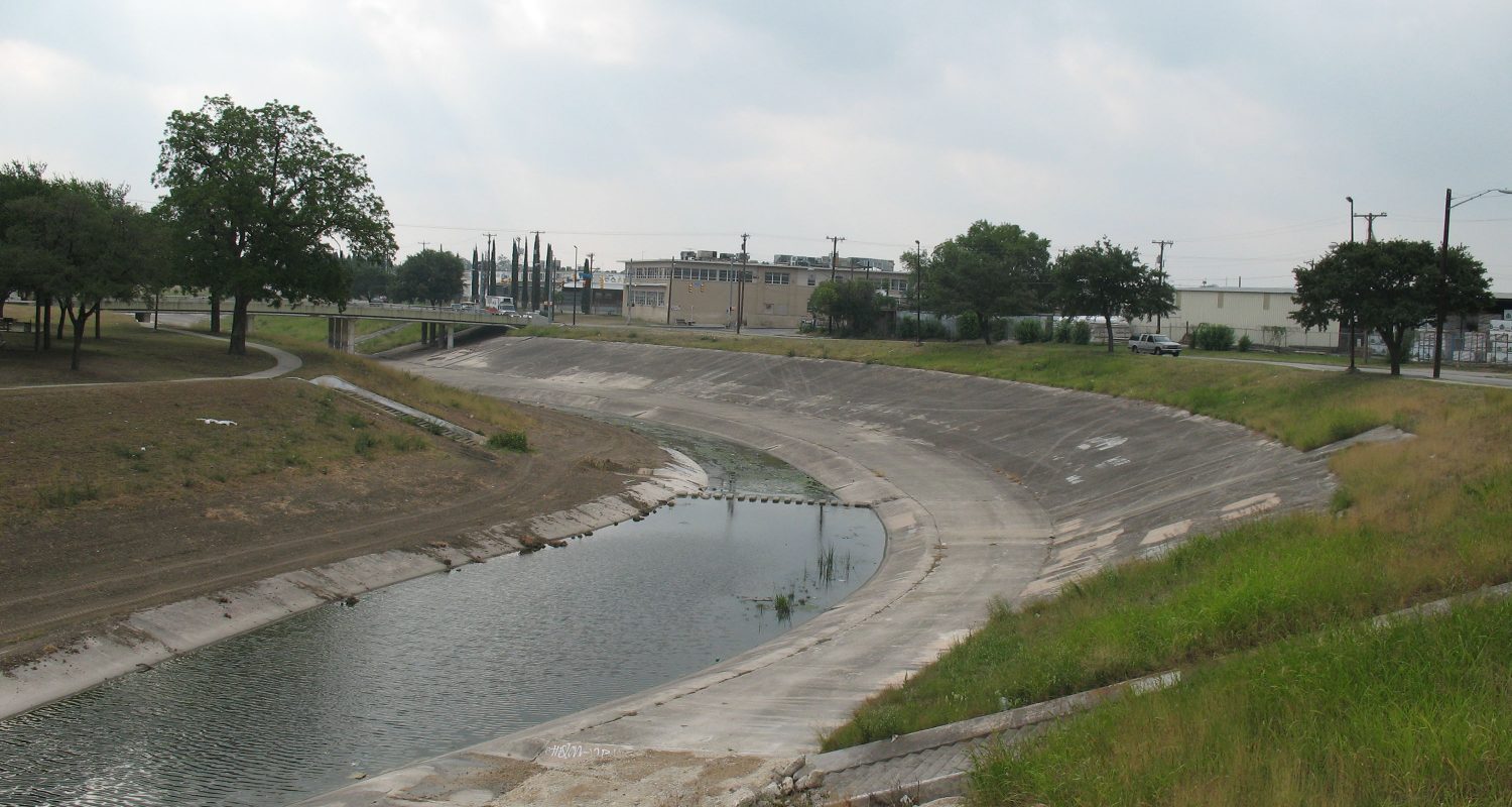
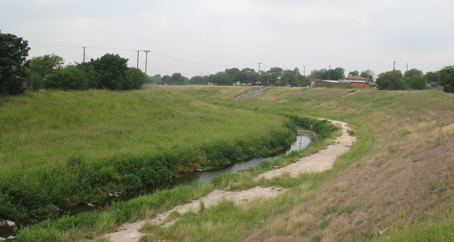
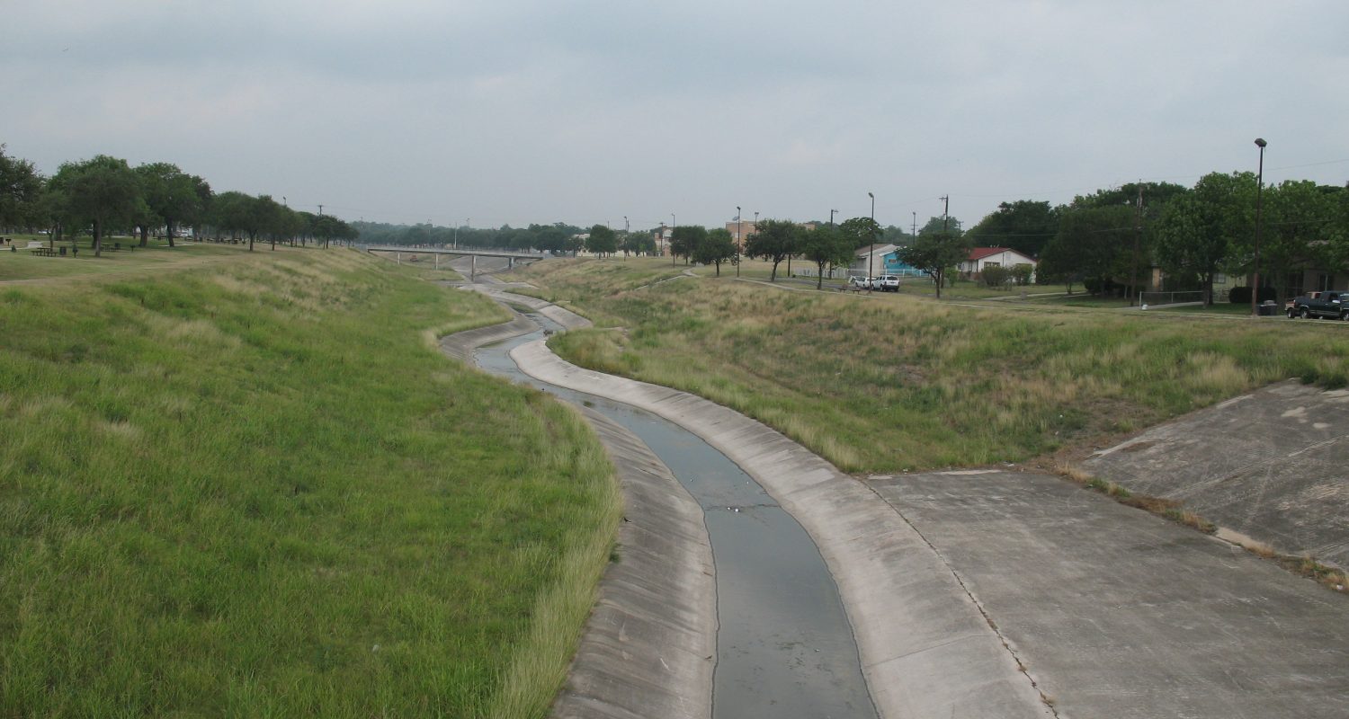
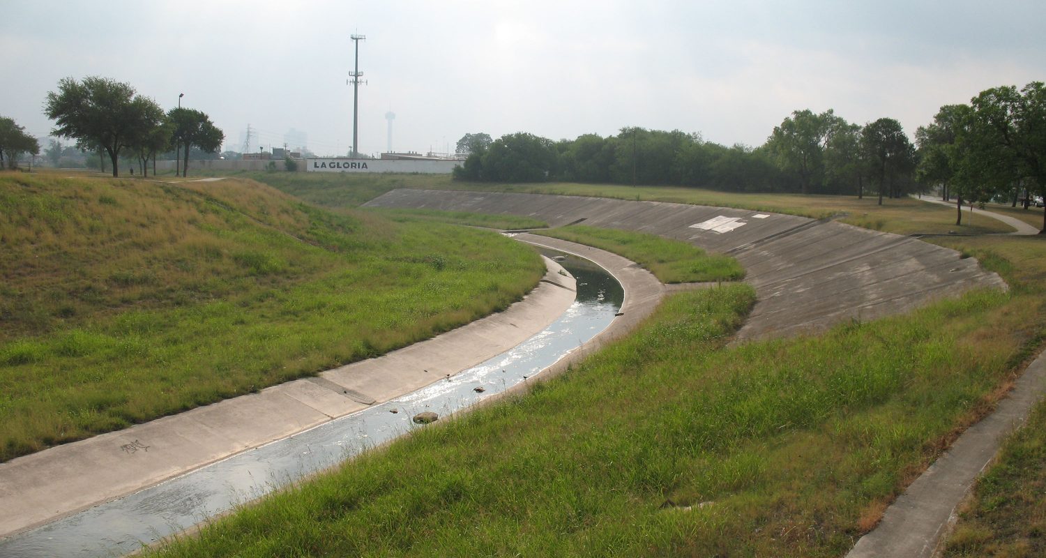
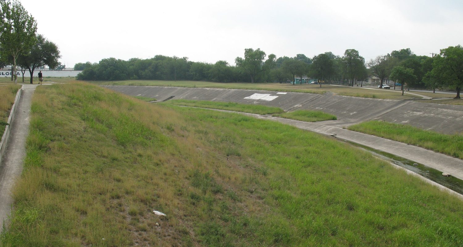
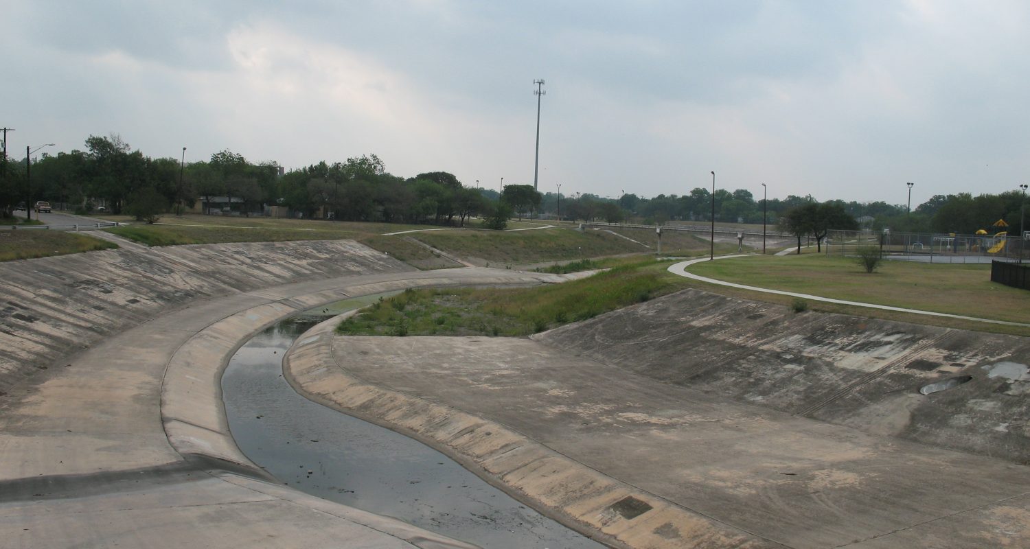
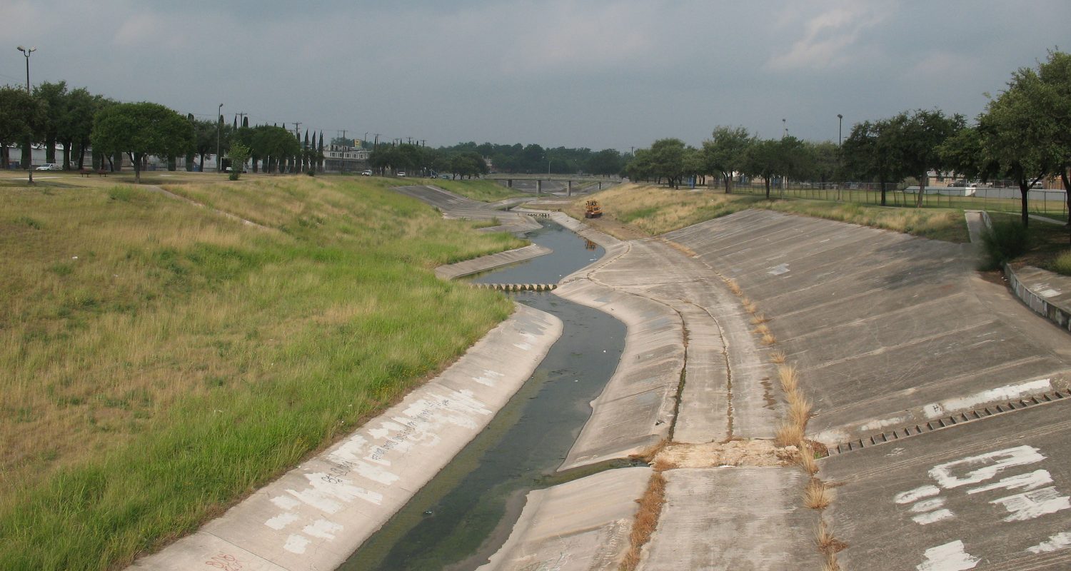
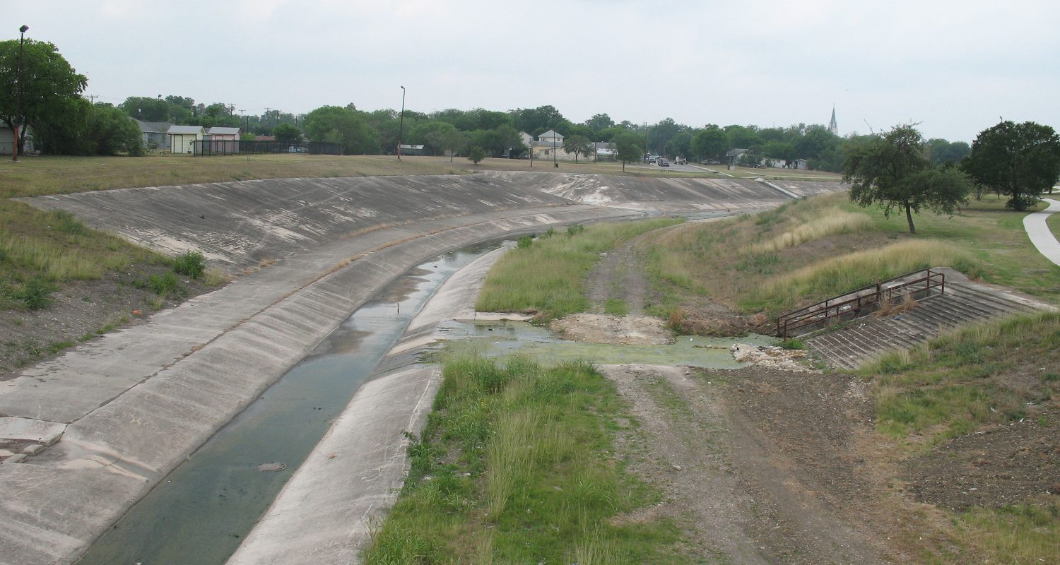
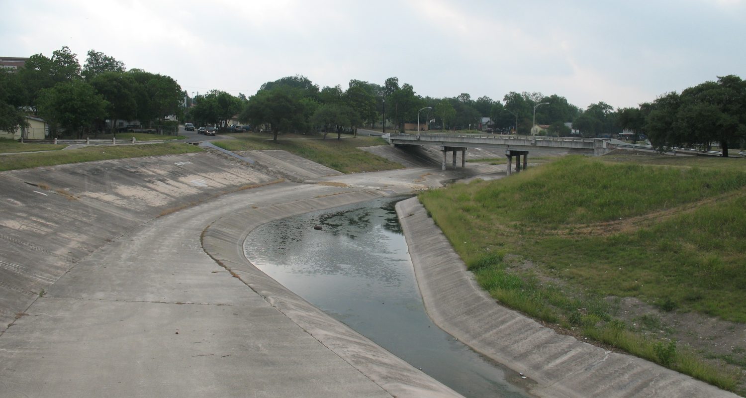
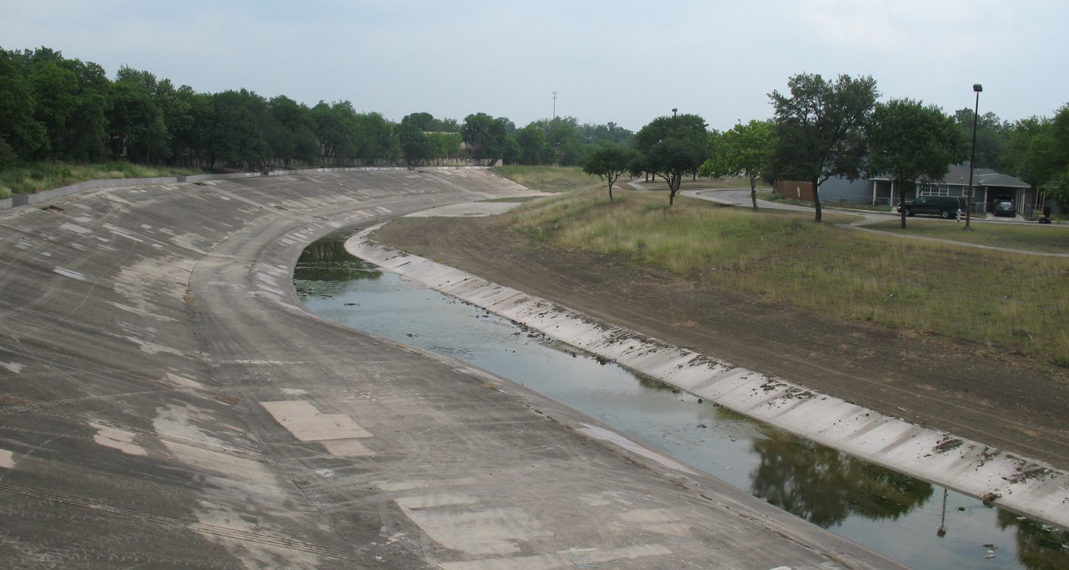
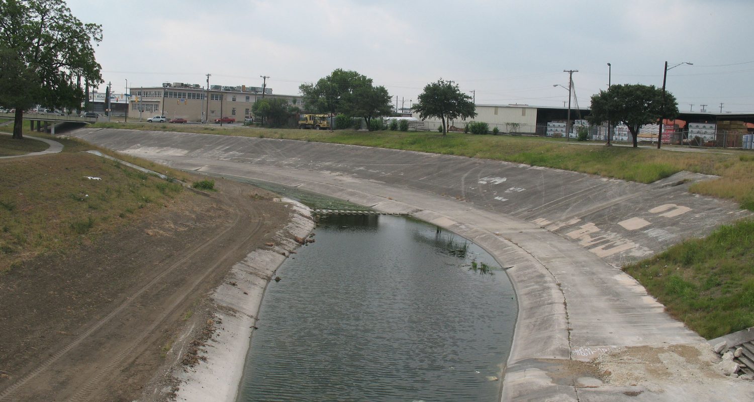
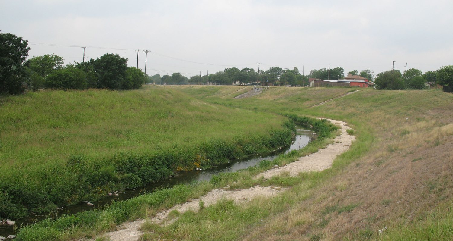
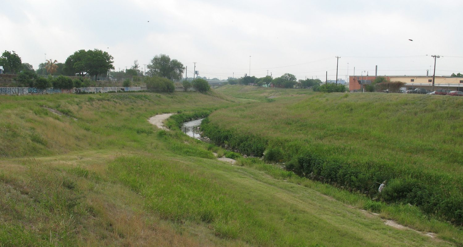
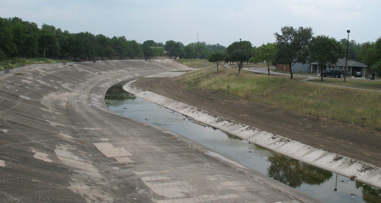
The project limits for Apache Creek, also known as the Charquito de los Apaches, start at Elmendorf Lake near the campus of Our Lady of the Lake University and run past the housing authority’s Cassiano Homes, near Avenida Guadalupe and past several parks extending 3.83 miles to the confluence with San Pedro Creek near the stockyards. Cassiano Park is one of the largest parks along Apache Creek. The land was first acquired by the City of San Antonio in 1898 and other property was added in 1936. In the early 20th century, when the park playground was still under construction, several local Hispanic organizations petitioned the City Council in May 1918 to name it in honor of Frank Cassiano. A descendant of pioneer San Antonio businessman Jose Cassiano who also helped finance the Texas Revolution, Frank Cassiano was a leader in the civic and political life of San Antonio for 30 years.
The Apache Creek Watershed spans approximately 23.4 square miles stretching from just north of the intersection of Fredericksburg Road and Wurzbach Road to the confluence with San Pedro Creek.
Sponsors
