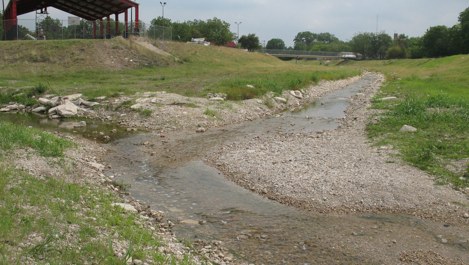
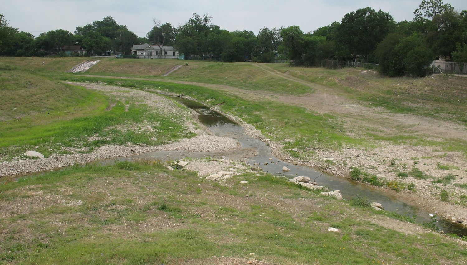
The Westside Creeks Project includes approximately 3.63 miles of Alazán Creek. The project limits for Alazán Creek begin near the Woodlawn Lake dam spillway at Josephine Tobin Drive and meander near the National Basilica of the Little Flower and through the housing authority’s Lincoln Heights and past Alazán Courts. It continues south of Guadalupe Street near San Fernando Cemetery until it merges with Apache Creek near Laredo Street. The Battle of Alazán Creek occurred on the banks of Alazán Creek on June 20, 1813 during the Mexican War of Independence between the Republican Army of the North and the Spanish Royalist force.
Though the Alazán creek project limits include 3.63 creek miles, the watershed spans approximately 17.5 square miles stretching from the University Health Science Center near Medical Drive and Fredericksburg Road to the confluence with Apache Creek near Laredo Street.